Denver Planning Group
Michael Baker's Denver Planning Group brings together a broad range of planning expertise to support communities across the region
With experience in community engagement, wayfinding, grant funding, safety studies, and active transportation planning and more, we work alongside partners to deliver thoughtful, implementable solutions. See some of our recent project examples below to learn more about what we do and where we've worked.
Projects
Image 1 of 6
Granby Downtown Wayfinding & Parking Plan | Granby, CO
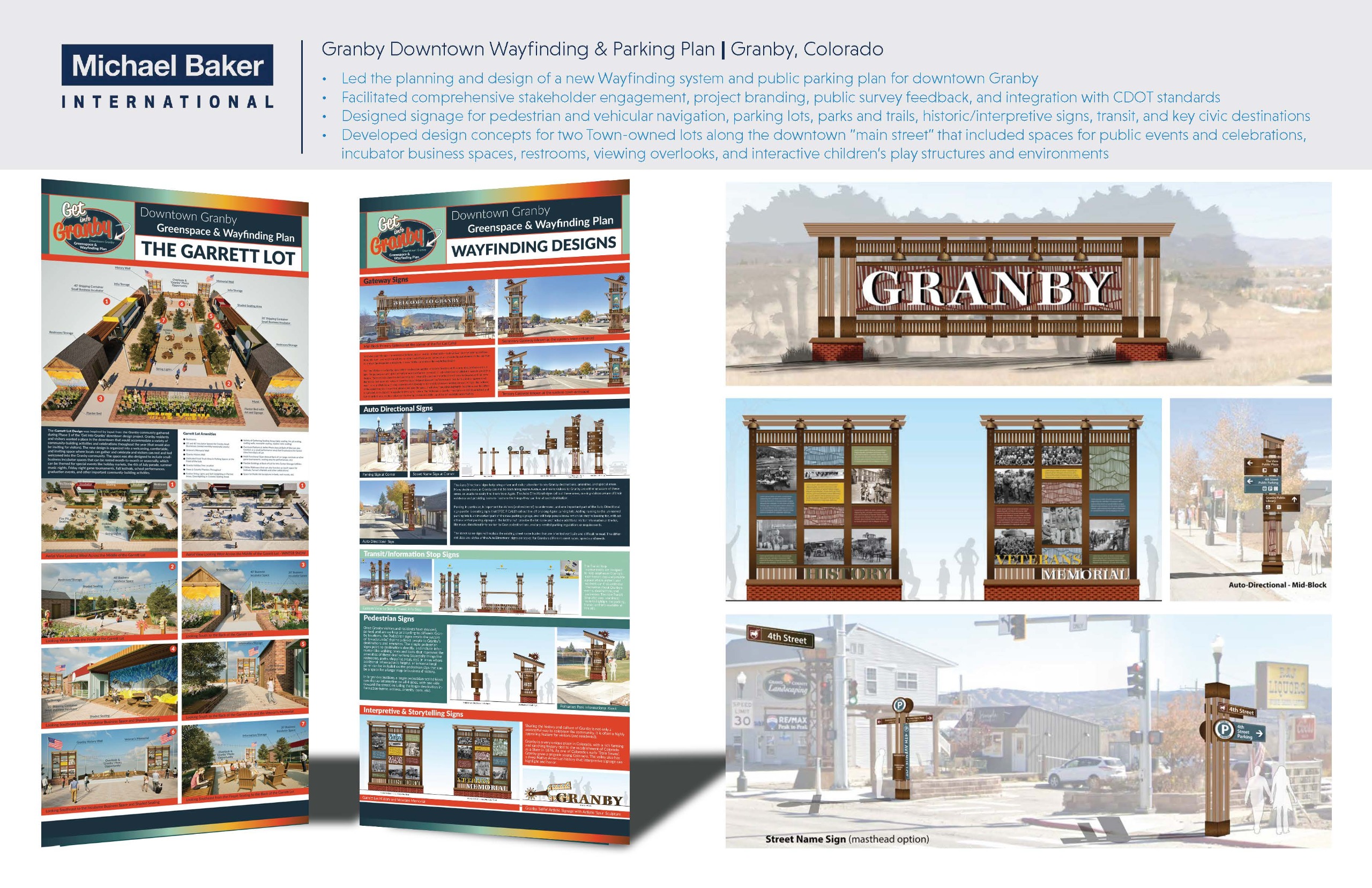
Led planning and design for a comprehensive downtown Granby wayfinding and public parking program, including stakeholder engagement, branding, public input, and coordination with CDOT standards. The project delivered coordinated pedestrian and vehicular signage and activated key Town owned downtown lots with concepts for public events, small businesses, amenities, overlooks, and interactive play spaces.
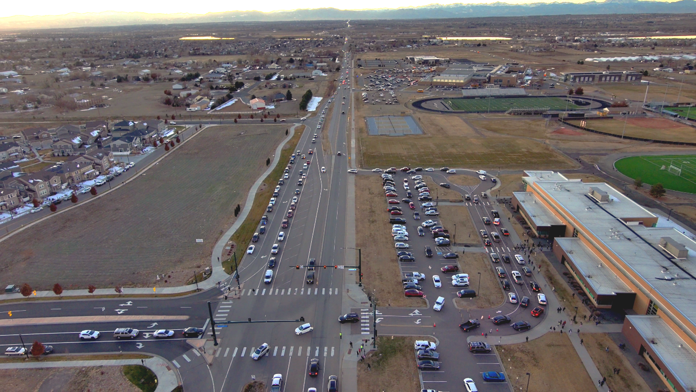
120th Ave Safety & Multimodal Corridor Study | Adams County, CO
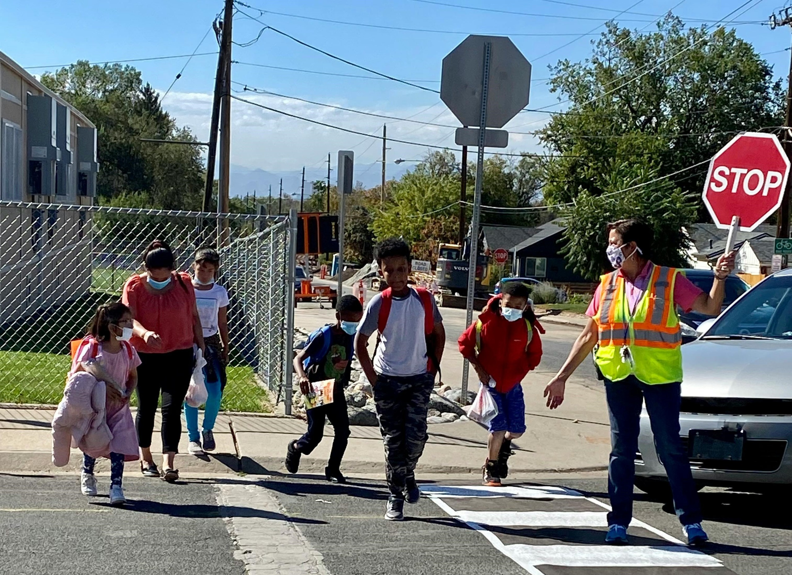
Evaluated a 4.5-mile segment of 120th Avenue between US 85 and Tower Road to improve safety, access, and corridor consistency. The project included existing conditions analysis, public outreach, development of alternatives, concept design, cost estimates, and phasing, culminating in a preferred alternative supported by partner agencies. Key improvements included interchange modifications, school access enhancements, and multimodal accommodations, along with support for state and federal grant applications.
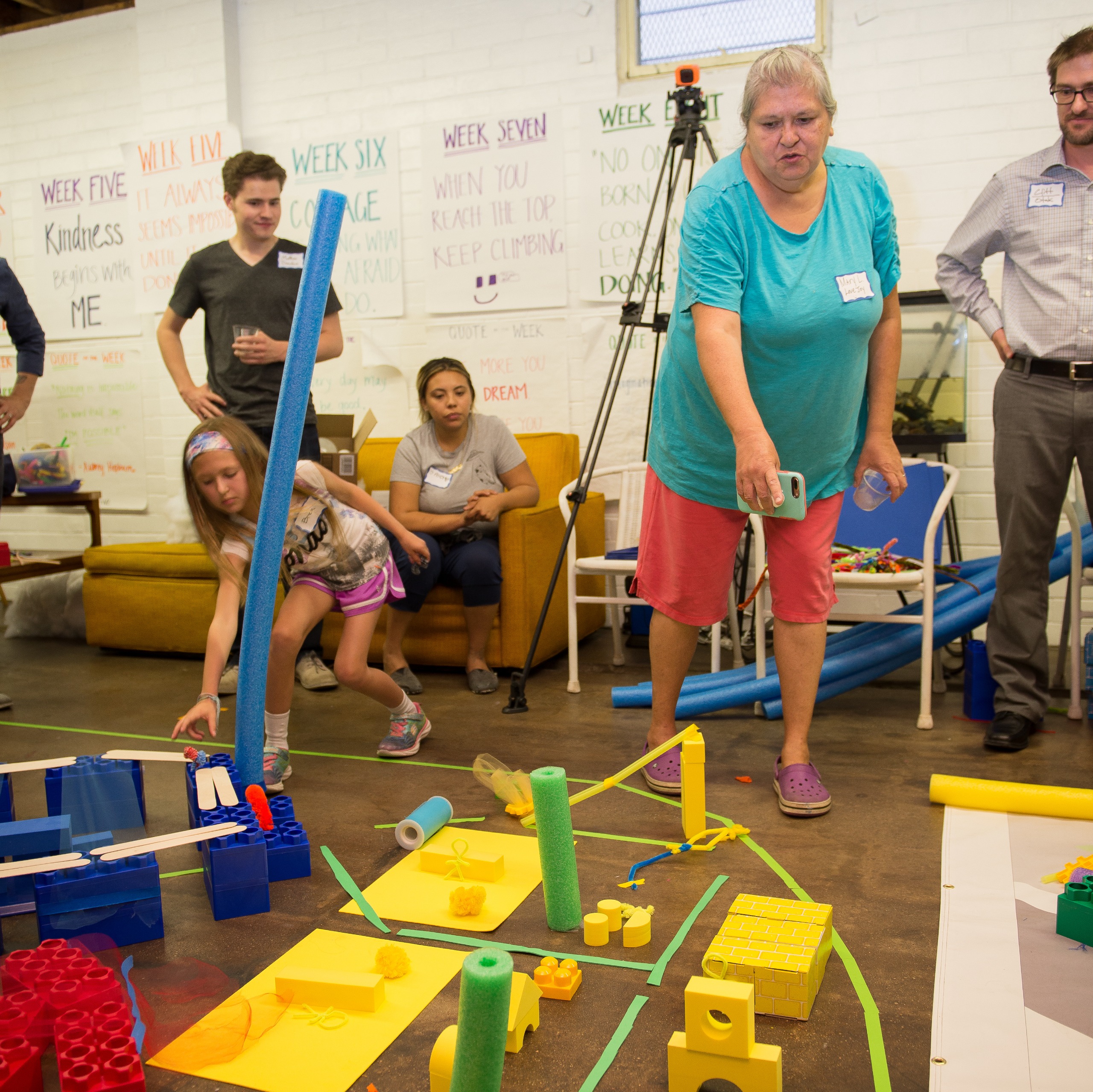
Over the Colfax Clover
Advanced a vision to transform the 29-acre Colfax and Federal cloverleaf interchange into a multimodal, community-centered asset that reconnects neighborhoods and improves safety. In partnership with the Colorado Department of Transportation and the City and County of Denver, the project integrated robust stakeholder engagement, technical analysis, and concept development. Led inclusive workshops, including a City as Play design exercise, applied resident-informed evaluation metrics, and facilitated a public design demonstration of future right-of-way and land use concepts. Ongoing work includes continued collaboration with the City and County of Denver to support the next phase of technical analysis and implementation planning.
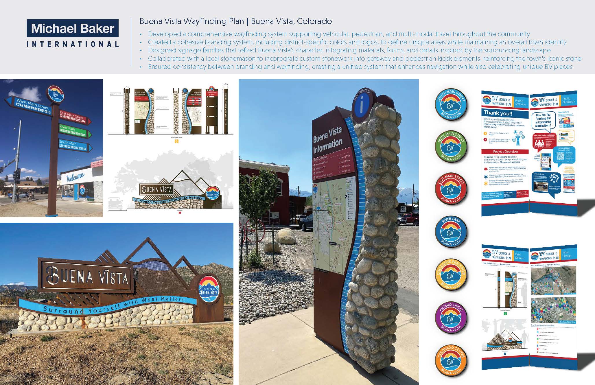
Buena Vista Wayfinding Plan | Buena Vista, CO
Developed a communitywide wayfinding and branding system for Buena Vista that supports vehicular, pedestrian, and multimodal travel. The project established a cohesive town identity with district specific colors and logos, designed signage inspired by the surrounding landscape, and integrated custom stonework to reinforce Buena Vista’s unique character while creating a unified and intuitive navigation experience.
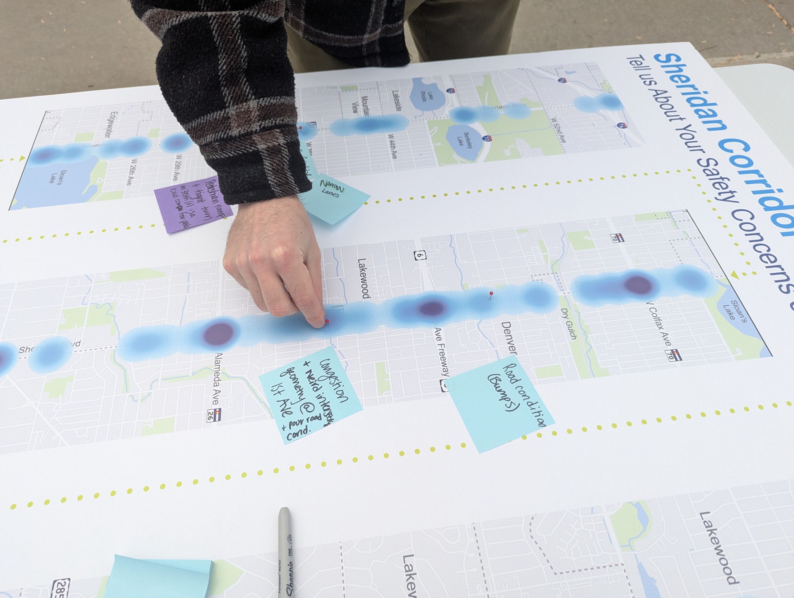
Sheridan Corridor Study | DRCOG
Identifying priority safety improvements along the Sheridan corridor by combining crash data analysis, field review, and targeted community engagement to support a safer, more connected multimodal network.
13th Avenue Multimodal Mobility Study
Managed a consultant team to complete a multimodal corridor study for a four-mile suburban corridor focused on improving safety, access, and connectivity. The project evaluated existing pedestrian and bicyclist conditions, on-street parking utilization, and connections to nearby East Colfax Avenue, with particular emphasis on enhancing walking and biking access for students and families at 11 schools within the study area. The effort advanced a 15 percent concept design featuring a new shared-use path, widened sidewalks, raised intersections, curb extensions, and mid-block crossings. The study also supported a successful $900,000 DRCOG TIP grant application, advancing 60 percent design for most of the corridor and 100 percent design for a designated priority segment.